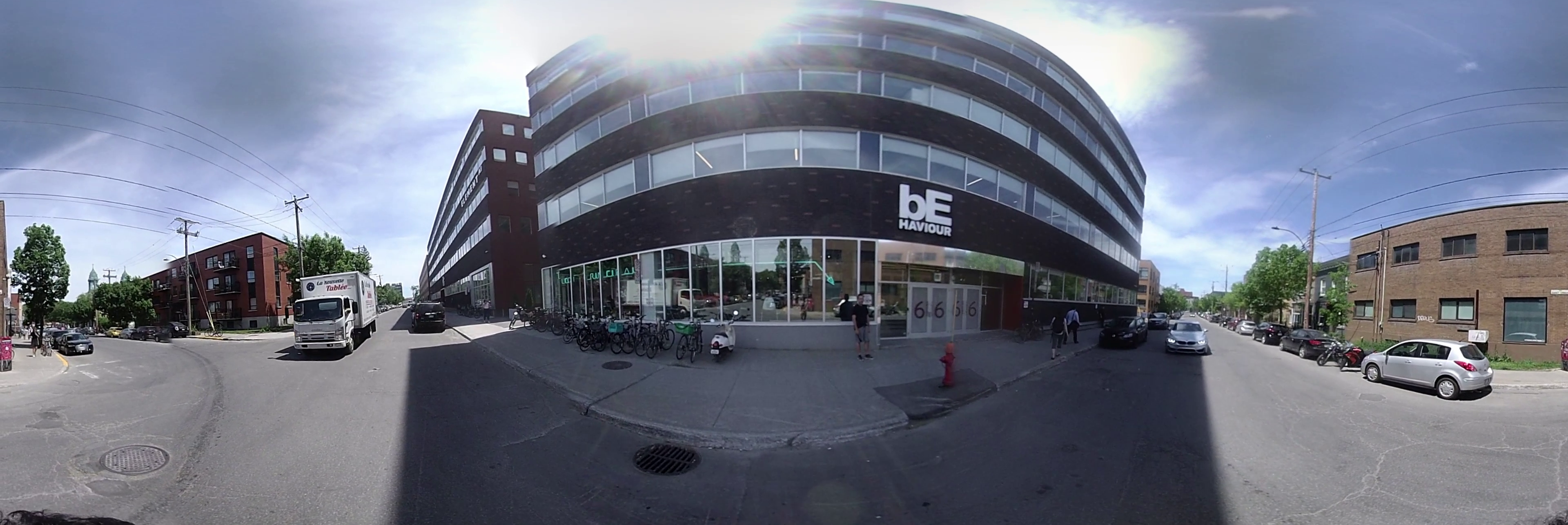
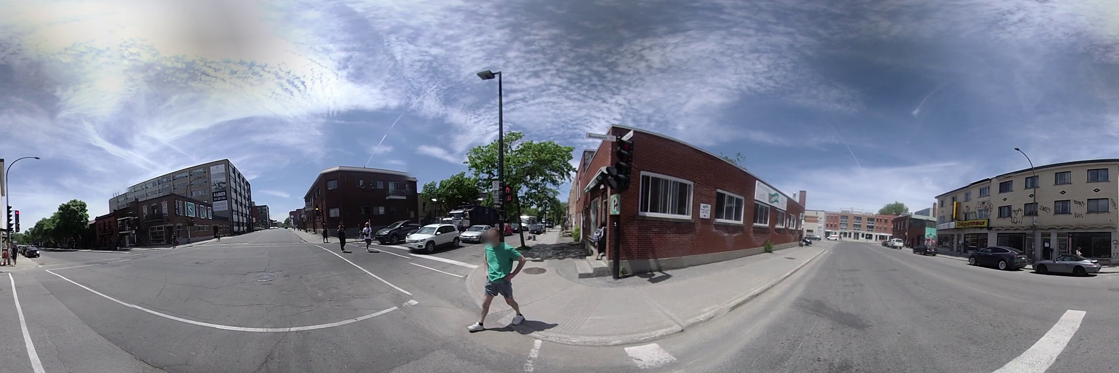
Examples
Here are a few examples from the SEVN dataset.
Blurred Faces and License Plates
We blurred license plates and faces across the entire dataset.
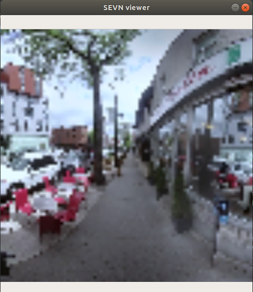
84x84 pixel image
If you use the viewer in the SEVN repository, you’ll see something like this.
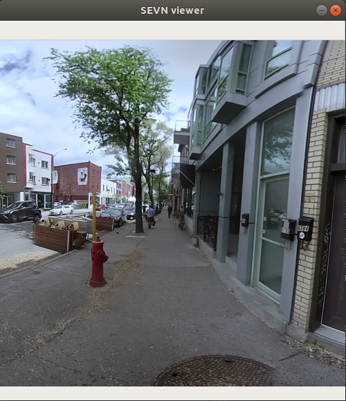
1280x1280 pixel image
If you use the --high-res flag, you’ll see something like this, after downloading the ~28Gb of image data.
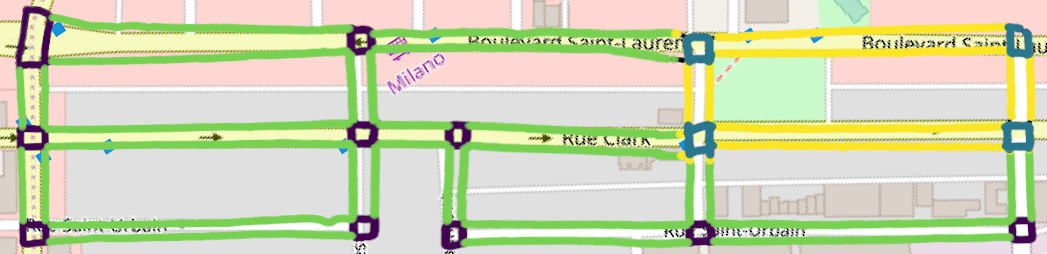
Connectivity Graph
These images are connected with an underlying spatial graph. Plotting this data on OpenCarta standard looks like this:
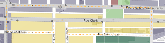
Zones
The same neighborhood, with municipal zoning laws, where purple:commercial, yellow:residential, dark green: industrial.
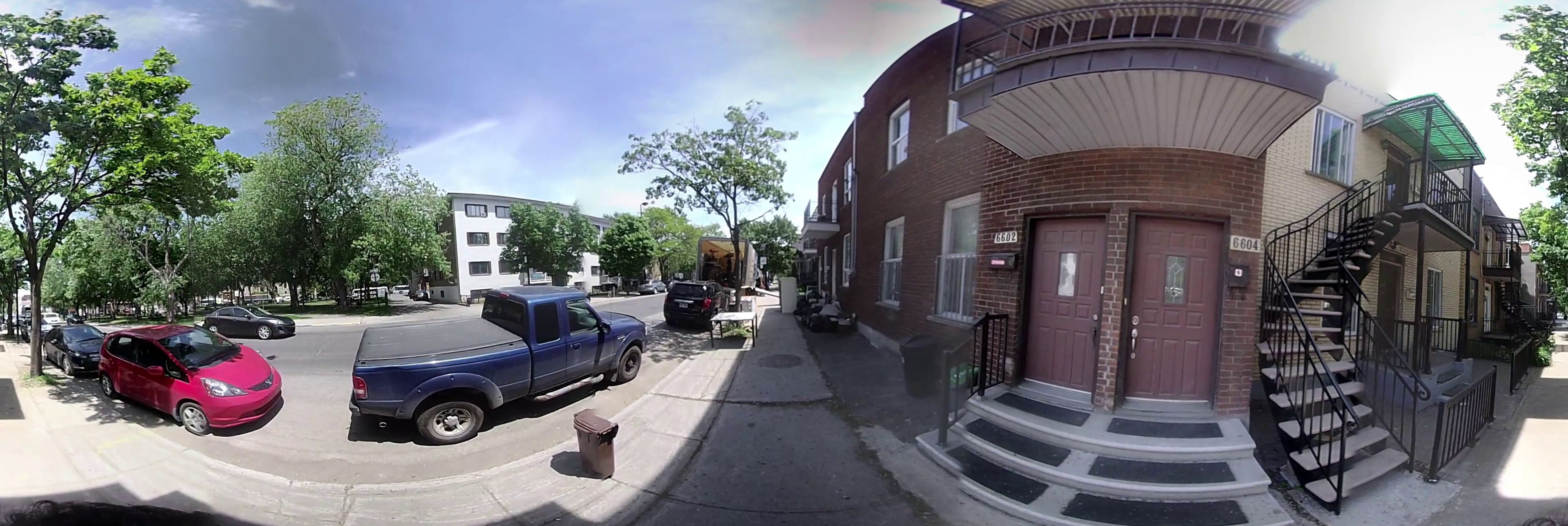
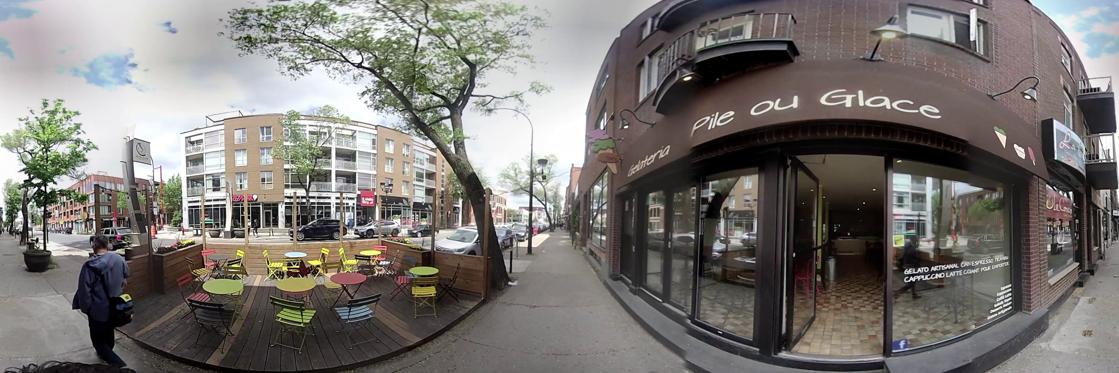
Here are example images taken from these regions.
Residential
Commercial
Industrial